Maximize Efficiency Through Subsurface Utility Engineering and Partnerships

Have you ever seen the underground cross-section of a New York City roadway? Utility lines run in every direction, crisscrossing and zigzagging in layers extending many feet into the earth’s surface.
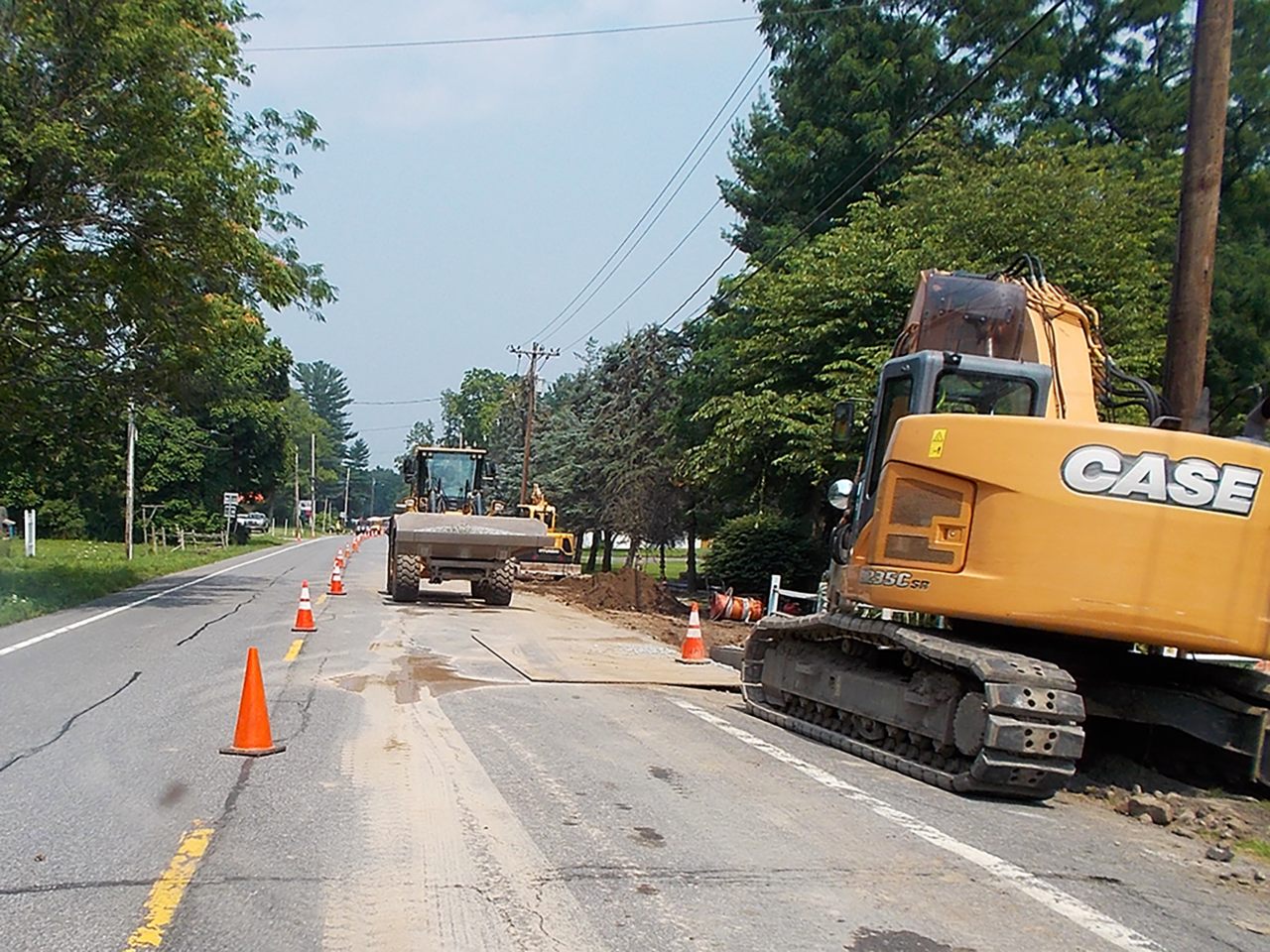
Whether in a major metropolitan or rural area, projects involving the repair of aging underground infrastructure, separation of sanitary and storm sewer systems, installation of new technology, and new development all require underground utility construction. As underground utility networks become more congested, the complexity of this work increases.
In worst-case scenarios, utility lines are damaged and construction halts, making for delayed construction schedules and frustration. Anticipating disaster can be as simple as proper subsurface utility engineering and partnership between utility providers and municipalities. Subsurface Utility Engineering (SUE) is the practice of using civil engineering, surveying, and geophysics to obtain reliable underground utility data and manage certain utility risks.
Underground Utility Data is Categorized in Four SUE Data Quality Levels
QL-D
QL-D, the most basic record mapping, is derived from existing records that may not be verified or include any detail. It can vary from a field sketch to CAD.
QL-C
QL-C includes QL-D plus a field survey showing surface appurtenances.
QL-B
QL-B uses geophysical or other means to mark out or designate the underground utilities, providing an accurate horizontal depiction.
QL-A
With the highest level of accuracy, QL-A provides visual verification of utilities, including confirmation of depth, size, and material, usually via vacuum excavation.
When provided SUE QL-B and/or QL-A utility records, engineers can prepare preliminary designs that avoid utility conflicts.
Proper SUE
Gone are the days of locating underground utilities with inaccurate as-builts and backhoes. At the time of construction excavation, utility depth, size, material, and age are known. Engineers need that same level of accuracy in the preliminary design phase to be proactive in avoiding utility conflicts.
The use of inaccurate mapping (i.e., QL-D) in designs can cause unplanned relocations, repairs, and disruption of services to the public, and often multiple parties pay. For example:
A Municipality’s Sanitary Project
QL-D utility data shows inaccurate utility lines that force the municipality’s project to shift, leading to additional manholes, fabrication delays, and extra contractor charges. The municipality may pay or argue ownership and force the utility to move, resulting in added project delays.
A Utility Company’s Project
QL-D utility data shows inaccurate water lines that cause the utility design to shift, crossing over into municipal right-of-way. The contractor requests additional pay for the added complexity, which the utility company pays for. The municipality pays in the form of traffic disruption and unplanned encumbrances.
When municipalities feed engineers the most accurate record of underground utilities (i.e., QL-B and/or QL-A SUE data), preliminary designs will account for the accurate location of these utilities, avoiding conflict and costly errors, delays, or damages during construction.
Partnership
Utility companies typically plan major system improvements years in advance. When municipalities meet regularly with the local utility companies, both parties understand what projects are in the pipeline. Bringing a simple printed list of project timetables to a coffee meeting opens the conversation for maintenance issues, significant projects, paving grants, and even opportunities to collaborate.
Potential Budget Sharing
If the municipality and utility company have projects occurring in the same location around the same time, both parties should consider collaborating on contracting, sharing trenching costs, sharing paving costs (especially if a municipality has grant funds to offer), and other creative approaches that can be identified when the municipality and utility companies touch base regularly.
Hired engineering consultants may already have relationships with the utility companies, so brainstorm with them on how to maximize project efficiency through utility collaboration. Proper SUE and partnerships can limit costly construction errors and the need to repeat activities. Trenching and paving just once instead of twice in a brief time frame is efficient, effective, and looks much better to your constituents.