Survey & Mapping


Talk to a LaBella Expert


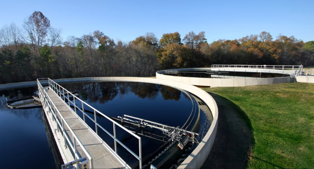
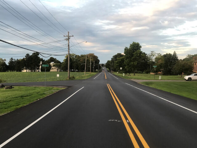
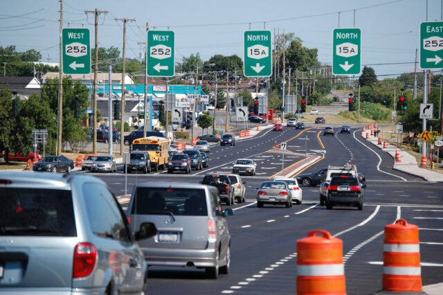
Featured Survey & Mapping Projects View more
Survey and mapping services for any phase of your project.
- Property & Title Surveys
- Land Subdivision & Client Representation
- ALTA/NSPS Land Title Surveys & HUD Surveys
- High-Definition Laser Scanning
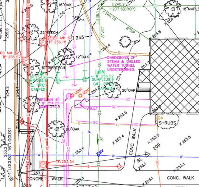
- Topographic & Utility Surveys
- Digital Terrain Modeling
- Volumetric Surveys
- Construction Layout
- Right-of-Way Mapping
- Photogrammetric Control Surveys
- FEMA Elevations Certificate (ELOMA)
- Underground Utility Designation (SUE)
- Utility Transmission Corridor Surveys
- Wetlands Survey & Mapping
- Civil 3D Mapping
- UAV/Drone Survey & Mapping

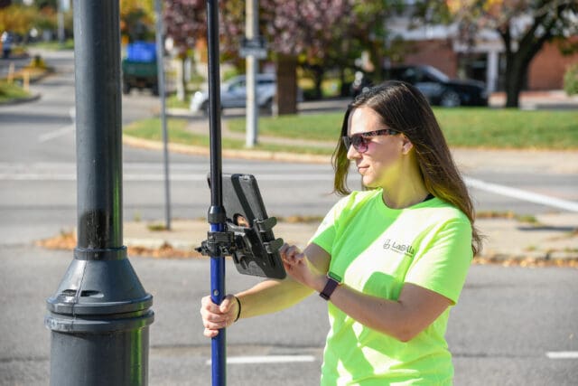
And the latest survey technology to complete it.
We invest in the people and the tools that generate a seamless workflow and reliable data acquisition. Survey instruments are selected to best meet each project’s demands. Cloud connectivity transfers the data from the field to the office, allowing for quick analysis. Mapping products are prepared using the latest releases of AutoCAD Civil 3D, Trimble Business Center, Carlson Survey, and ArcGIS software.
Our land surveying and mapping technology includes:
- Trimble R10 & R12 GPS Receivers for Static, Rapid Static, & RTK Applications
- Trimble S7 1” Robotic Total Stations
- Trimble TSC7 & TSC3 Data Collectors & Controllers
- Lecia 2″ Robotic Total Stations
- Carlson BRX6+ & BRX7 Receivers for Static, Rapid Static, & RTK Applications
- Carlson Tablets Running SURVCE Software
- Each Crew Has Full TPS & GPS Capability
- Underground Utility Designating & GPR
- Leica High-Definition Scanning & Matterport Reality Capture 3D Scanning/Photography
- Leica BLK360 3D Scanner
- Trimble TX8 3D HD Scanner
- Trimble SX10 3D Scanner/Robotic Total Station
- Phamtom 4 Pro V2.0 RTK Drones
Surveying & Mapping Services
Request for Proposal
Submit your request for proposal to address your surveying and mapping needs through our online form provided below.
Recent Survey & Mapping insightsView all

Beneath the Surface: A Deep Dive Into Geophysical Technologies for Sustainable Engineering
Continue Reading
Designing With Precision and Purpose to Unlock the Full Potential of Your Property
Continue Reading
Maximize Efficiency Through Subsurface Utility Engineering and Partnerships
Continue ReadingRecent Survey & Mapping News View all
Related servicesView all